01DESKTOP
Prepare the survey
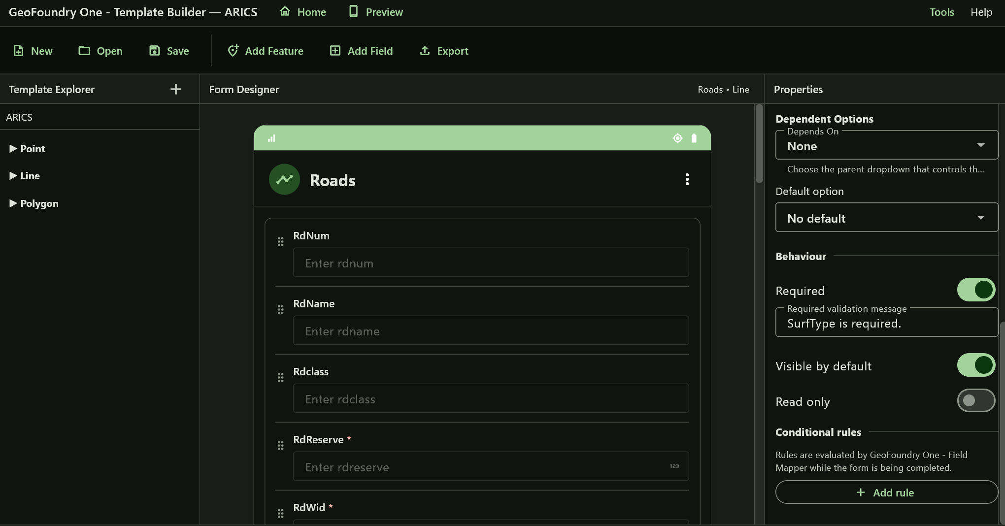
Build your template, fields and collection logic in Template Builder. Prepare project-specific reference data when the job needs it.

GeoFoundry One connects survey design, field collection and GIS-ready delivery in one practical workflow — built for the people who actually collect the data.
You decide what needs to be collected. GeoFoundry One takes care of turning that plan into a field workflow your team can actually use.
The point isn't to add another system to your project. It's to make the path from field survey to usable GIS data shorter and easier to understand.
Build your template, fields and collection logic in Template Builder. Prepare project-specific reference data when the job needs it.
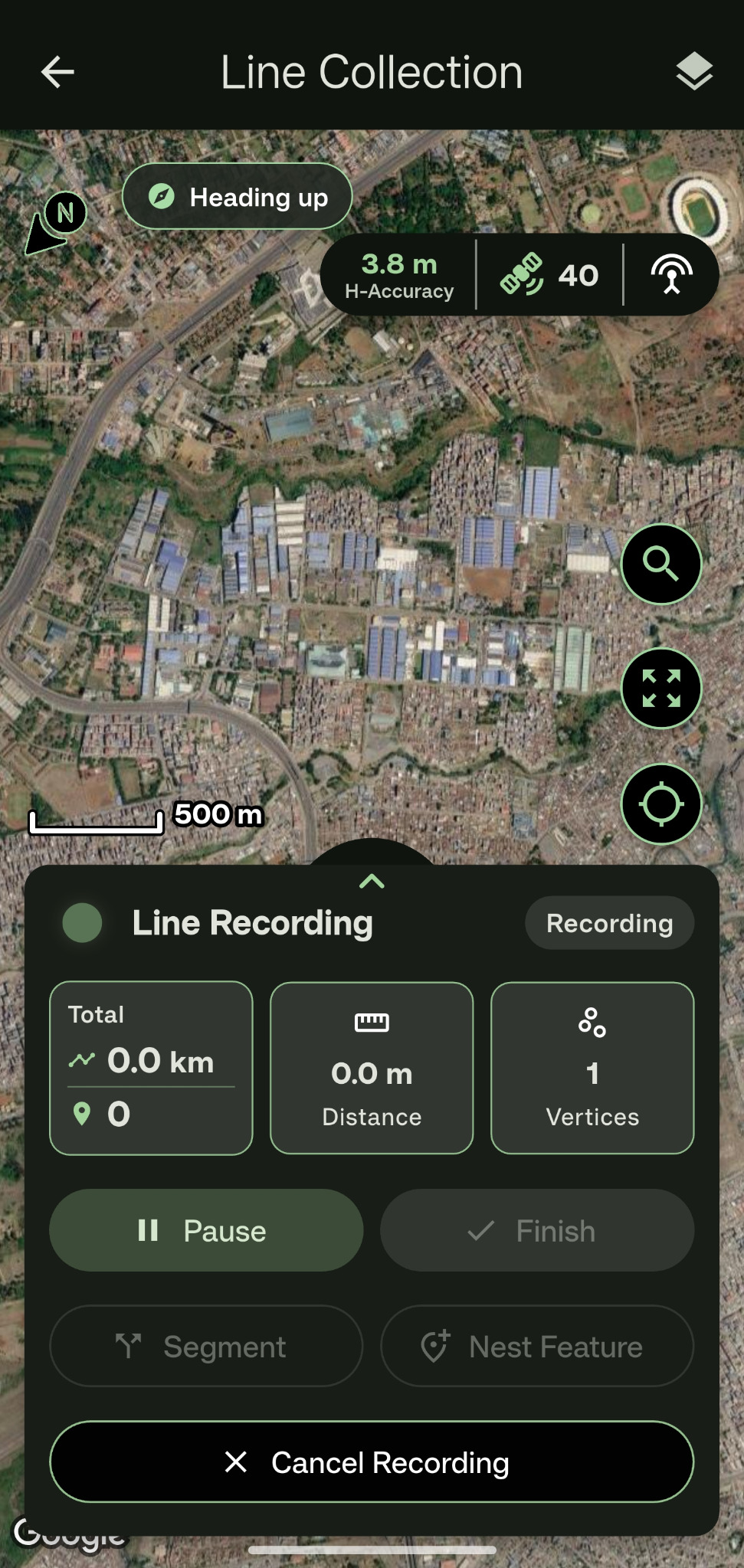
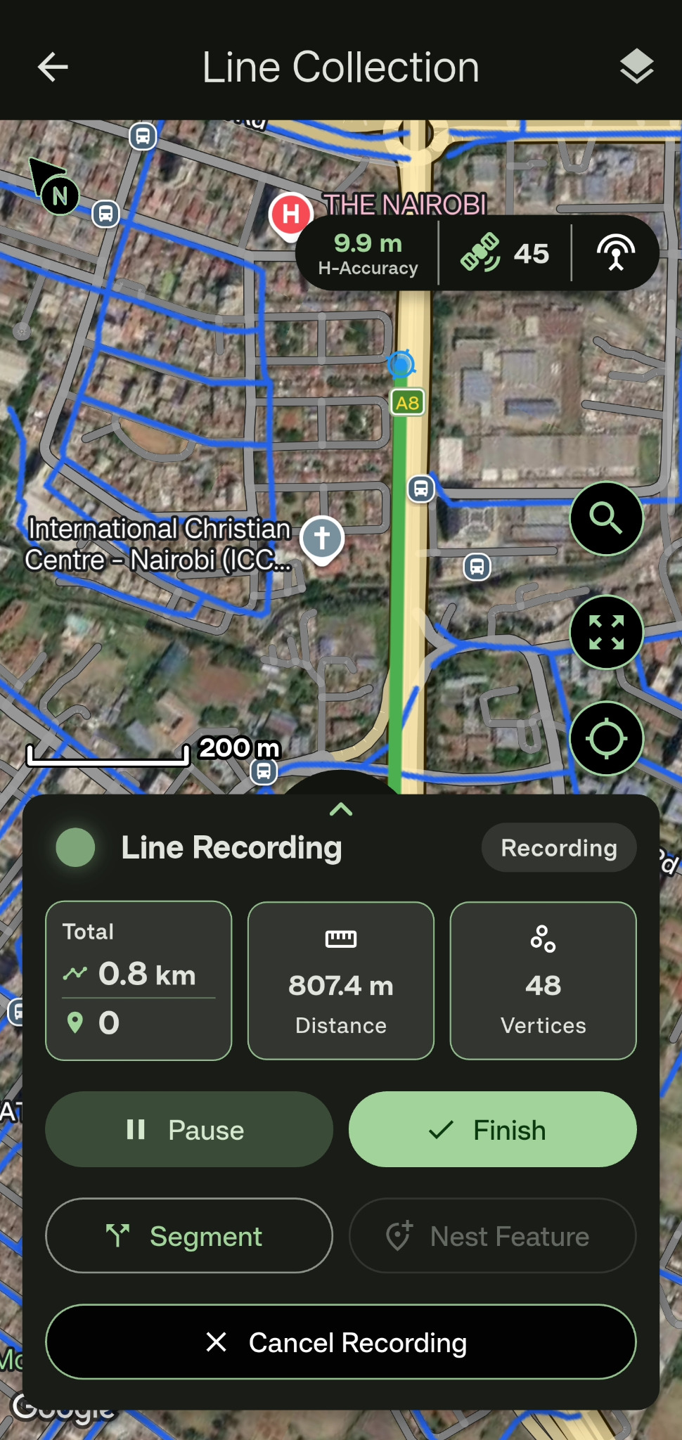
Open the project in Field Mapper and collect structured spatial data with your phone or a compatible external GNSS receiver — even when the connection disappears.
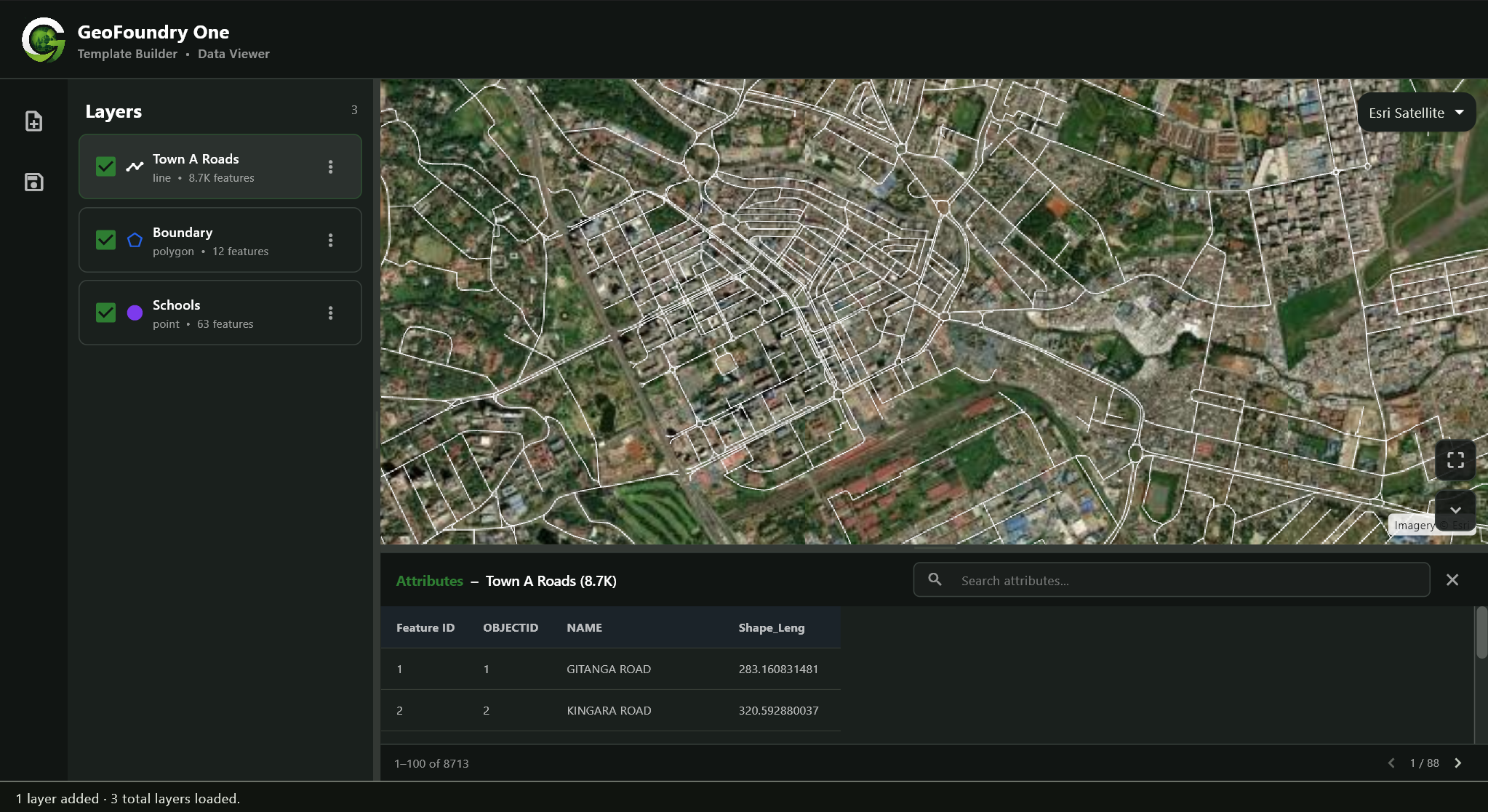
Review the map and attributes, then export the result in formats that fit the GIS workflow that comes next.
Every stage is designed to preserve survey structure, spatial context and usable GIS output.
Connect GeoFoundry One with Trimble Mobile Manager for seamless integration with compatible Trimble GNSS devices for higher-accuracy positioning. Move between your device's built-in positioning and professional Trimble GNSS workflows without changing your field-data structure.
Create template forms directly within Field Mapper when you need a fast field setup, without having to return to the desktop Template Builder for every new collection requirement.
GeoFoundry One automatically determines the appropriate UTM zone from your location, reducing coordinate-system setup and making projected-coordinate workflows easier for both field and office teams.
See what is happening in the field day by day. Review collected features, distances, point counts and other collection statistics to understand progress and productivity throughout a project.
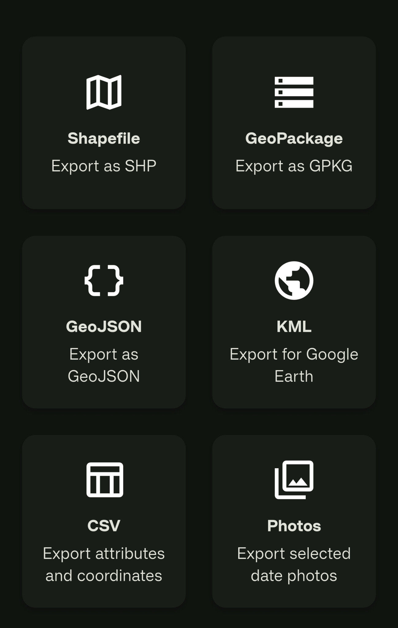
Move collected information into the GIS environment that comes next. Export field data in a wide range of common spatial and tabular formats, including Shapefile, GeoPackage, GeoJSON, KML and CSV.
Choose between Individual and Organization licences with monthly or annual billing. Manage devices registered under Organization licences through a single GeoFoundry One account, with the flexibility to deactivate a licence on one device and transfer it to another when required.
A clean, focused and flowing interface makes field data collection straightforward and enjoyable to use. Clear controls and an intuitive layout help users move quickly between projects, maps and data collection without unnecessary complexity. Theme customization also lets users personalize the interface to suit their preferences.
Record attribute changes along a continuous linear feature without treating every change as a completely separate line. Line segmentation lets attributes change along the route while preserving the logical continuity of the feature being surveyed.
Capture related point or polygon features while a line survey is still in progress. Record assets such as culverts, signs, structures or other associated features without abandoning the parent line-collection workflow.
Prepare reference layers in Template Builder, package them for Field Mapper and take them into areas without internet connectivity. Field teams can continue working against project-specific base information even when online basemaps are unavailable.
Build sophisticated field templates whose fields respond to previous answers. Conditional visibility and configurable options allow one template to adapt to different feature conditions instead of forcing collectors through irrelevant questions.
Once activated, Heading Up keeps the map facing the direction you are traveling while collecting a line feature. As you move, GeoFoundry One uses your movement direction and GPS course to continuously orient the map, keeping the path ahead of you in view.
Manage your GeoFoundry One licences directly from your account on the website. View your active licences, see which devices are using them, add or remove devices when needed, and manage available seats as your team grows or devices change.
GeoFoundry One gives you a clear view of your positioning setup, whether you are working with the phone's built-in GNSS or a connected professional receiver.
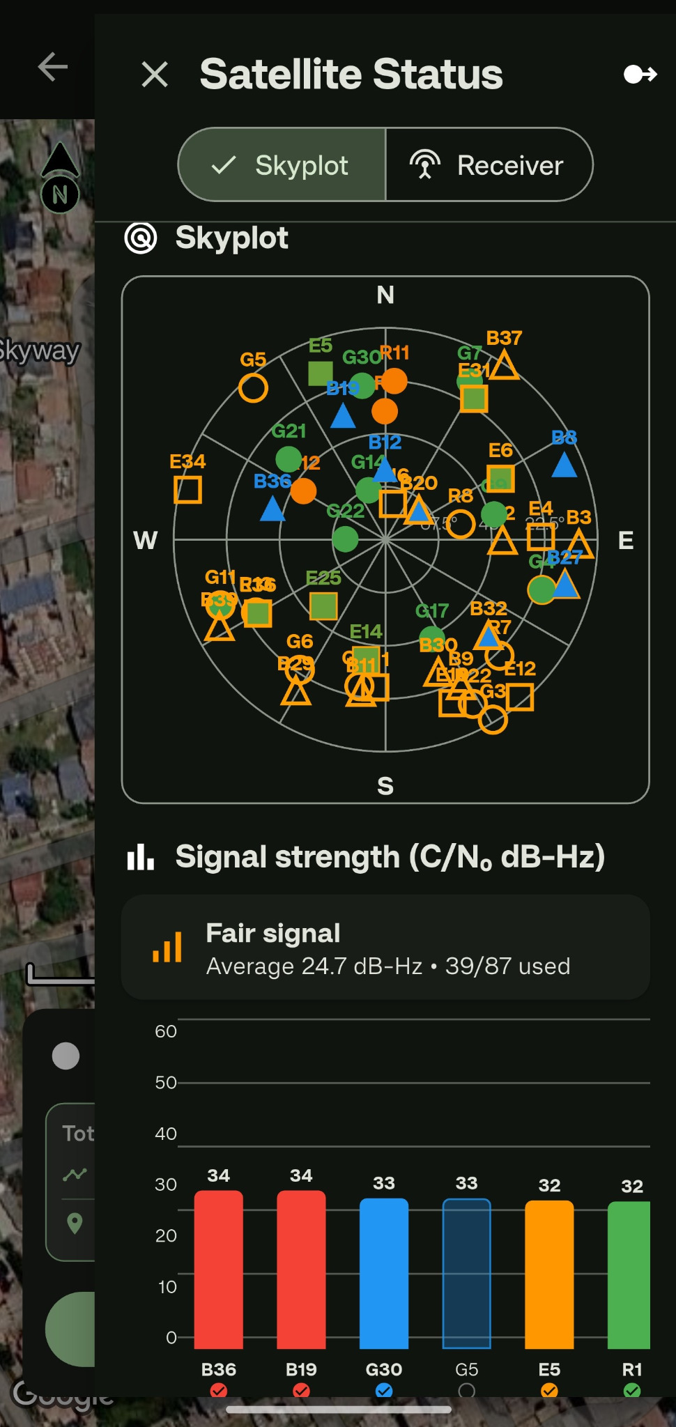
The Skyplot gives you a quick view of the satellites being tracked around the receiver, together with signal strength and satellite-use information. It makes it easier to understand the quality of the positioning you are working with in the field.
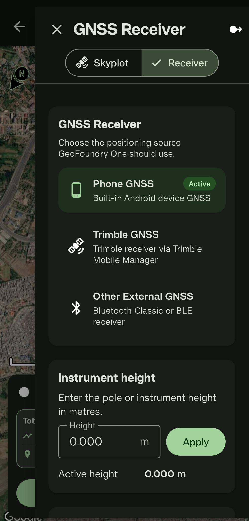
Use the phone's built-in GNSS when that is all you need, connect a Trimble receiver through Trimble Mobile Manager, or use another supported external GNSS receiver. The positioning source stays clear and easy to switch.
Get full access to GeoFoundry One during your 7-day trial. Explore the complete platform and experience the same features available to licensed users, without feature restrictions during the trial period.
Set up your GeoFoundry One account and begin your trial.
Access the complete GeoFoundry One experience for 7 days.
When your trial ends, choose the Individual or Organization licence that fits your work.
Use GeoFoundry One as an individual or set it up for a field team. Choose monthly or annual billing and manage your registered devices from your account.
Use the GeoFoundry One workflow with one registered Field Mapper device and Template Builder entitlement.